
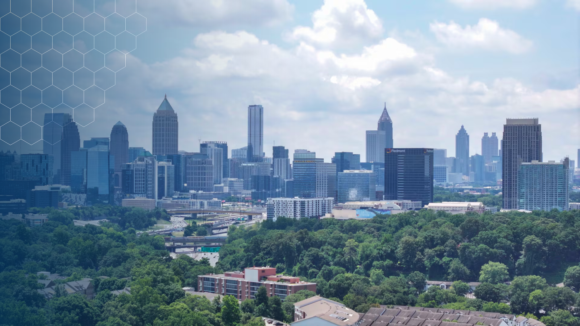
September 7, 2026 | Melissa Alonso – Atlanta, Georgia
For years, the story of Atlanta’s trees lived partly in plain sight and partly in data.
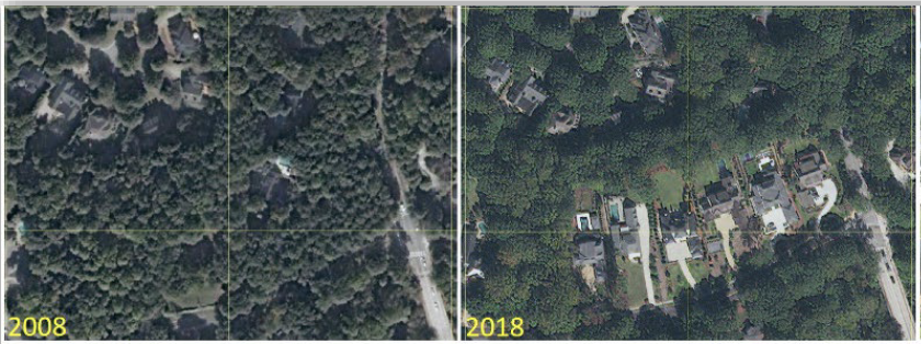
Residents could see mature trees disappearing from redevelopment sites. They could watch apartment buildings rise where wooded parcels once stood. They could feel the difference between a shaded neighborhood street and a block dominated by pavement.
But seeing change and measuring it are two different things.
For nearly two decades, Georgia Tech researcher Tony Giarrusso and teams now working through the Center for Urban Resilience and Analytics have given the City of Atlanta tools to do the latter. Their work uses satellite imagery, land-cover classification, mapping, site observations and long-term analysis to turn a familiar question — “What is happening to Atlanta’s trees?” — into something city leaders can measure, compare and use in planning.
This summer, that research moved decisively into Atlanta’s public conversation.
After City Councilmember Matt Westmoreland obtained the latest assessment and unsuccessfully sought a presentation from the city, he asked Giarrusso to present the findings to the council’s Community Development/Human Services Committee, according to SaportaReport. Westmoreland said he wanted the findings “out in the open.”
What followed illustrates something larger than a debate over trees. It shows what can happen when university research built over years becomes part of the public decision-making process.
Within days, the findings were being discussed across Atlanta media. WSB-TV flew a drone over the city’s canopy. GPB reported on the assessment statewide. WABE brought Giarrusso onto “Closer Look with Rose Scott.” The Atlanta Journal-Constitution examined the relationship between development and canopy loss. Civic Atlanta summarized the presentation as a policy issue facing city officials.
At the center of that reporting was research Georgia Tech had been building for years.
From Anecdote to Evidence
Atlanta’s first citywide tree canopy analysis used imagery from 2008. The city has since completed assessments for 2014, 2018 and 2023, creating a record that allows researchers to examine not simply how much canopy exists, but where it changes and why.
Giarrusso describes that transition simply.
Before this work began, he said, “everything was anecdotal. It was reactionary.” The assessments became another source of information that could help city officials make decisions grounded in evidence.
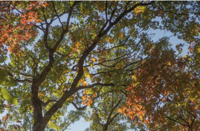
The methodology begins with multispectral imagery capable of distinguishing vegetation from other types of land cover. For the 2023 study, the team used WorldView-2 satellite imagery and classified the landscape into tree canopy, non-tree vegetation and non-vegetation.
The resulting data were aggregated across city boundaries and smaller geographies, including a six-acre citywide grid, allowing researchers to examine patterns of canopy and change.
But the maps are only the beginning.
One of the distinguishing features of the Georgia Tech work is its effort to understand why the map changed. The 2023 project included more than 100 in-person site visits and more than 500 remote observations to classify the causes of significant canopy gain and loss.
That matters because two green pixels on two different maps can tell very different stories.
Researchers identified what Giarrusso calls a “loss-gain-loss” cycle: Land is cleared for development, a project stalls, quick-growing trees return, and the land is eventually cleared again when construction resumes. Without looking at land use and history, that temporary growth can appear to be a successful canopy gain.
“It kind of gives you a false sense,” Giarrusso said when discussing how to interpret the canopy’s condition.
That level of context is part of what turns a canopy assessment into a planning tool rather than simply a count.
The Numbers Enter the Public Conversation
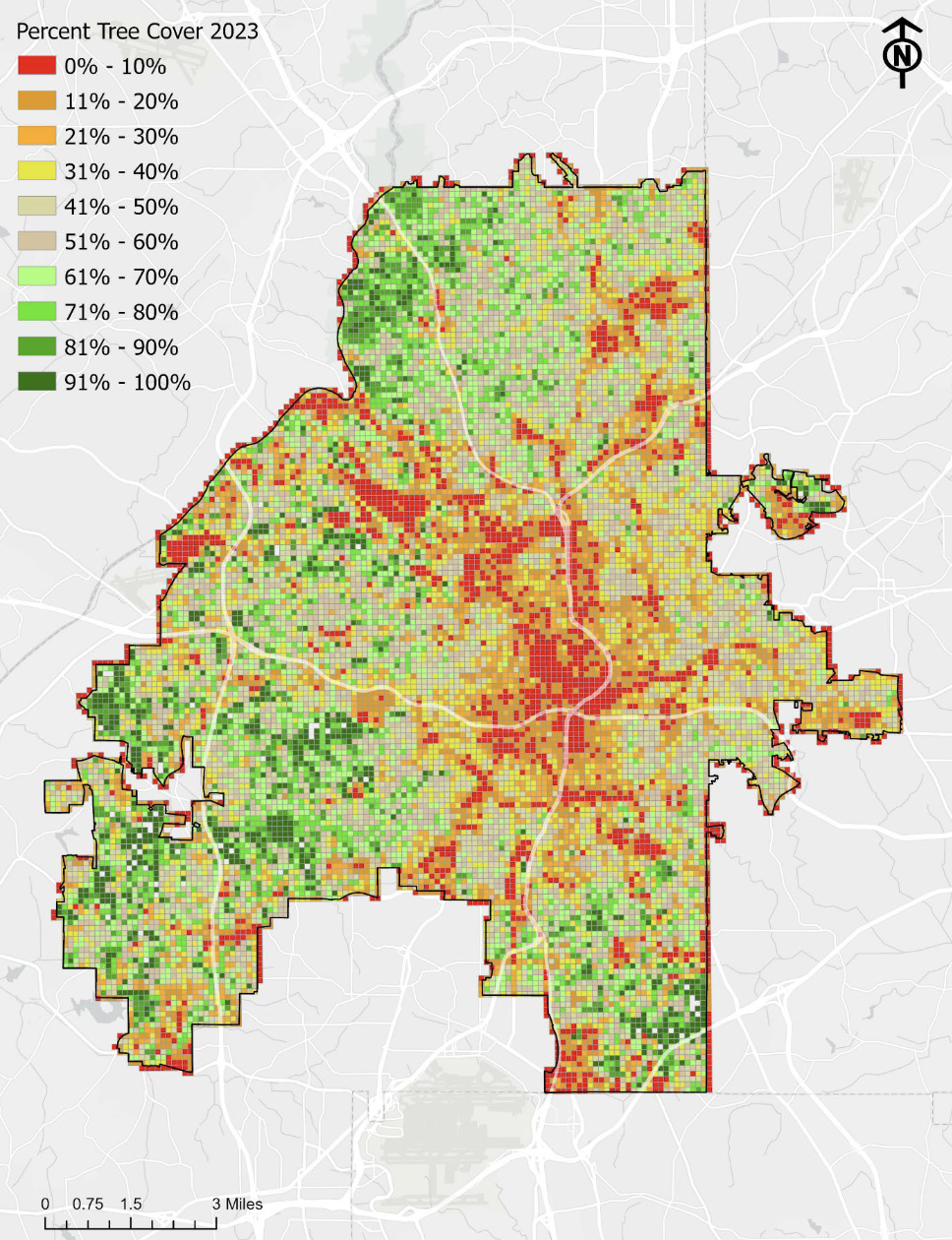
The official assessment estimates that trees covered 45.7% of Atlanta in 2023, representing 39,829 acres when the airport is excluded. That is a slight decline from 2018 and more than two percentage points below the city’s 2008 baseline of 47.9%.
Researchers estimated an average loss of approximately 0.43 acres of canopy per day between 2018 and 2023.
Those figures quickly became headlines.
WABE reported that almost 40,000 of Atlanta’s more than 84,000 acres are under canopy and highlighted the enormous variation within the city.
Giarrusso explained that the pattern largely follows land use, with the least tree cover toward the urban core and greater canopy farther from downtown, where larger single-family residential lots become more common.
“Downtown has the least amount of trees,” Giarrusso told WABE, with tree cover increasing toward Atlanta’s outskirts.
That nuance is important.
The research does not present Atlanta as uniformly losing trees, nor does Giarrusso describe the issue as a simple choice between development and preservation. In fact, one of the latest assessment’s notable findings was a change in the type of development most often associated with canopy loss.
In earlier assessments, redevelopment of single-family properties had been a major driver. Between 2018 and 2023, multifamily development became the most common cause observed at significant loss sites, followed by single-family redevelopment and new residential, industrial, mixed-use, institutional and commercial development.
Giarrusso told the AJC that the shift could also be viewed through the lens of accommodating more residents on developed land. Increased housing density, he explained, could allow Atlanta to house more people while preserving more canopy elsewhere.
By documenting where canopy loss is occurring and what is driving it, the research gives city leaders clearer evidence for weighing those tradeoffs.
Atlanta Is One Piece of a Statewide Story
The same kind of geospatial research is also helping Georgia understand change well beyond Atlanta’s city limits.
For the Georgia Forestry Commission, Georgia Tech analyzed nearly four decades of statewide forest-cover data. The research found that Georgia’s forest canopy declined from approximately 62% in 1985 to 56% in 2023, a loss of about 2.5 million acres.
Much of the long-term loss was associated with development in metropolitan areas. All of Georgia’s metropolitan statistical areas lost forest cover during the study period, with some experiencing declines of more than 10 percentage points.
The statewide work also demonstrates why seemingly simple statistics require interpretation.
Outside metropolitan areas, commercial timber is a major component of Georgia’s landscape. Forest can disappear during harvest and return as timber is replanted, while land converted to development represents a fundamentally different and often permanent change.
Giarrusso has also cautioned that planting alone cannot always replace what is lost, particularly when mature urban forests disappear.
That distinction between measuring change and understanding change runs through his work from Atlanta to Georgia’s coast and across the state.
The Power of Being the Informer
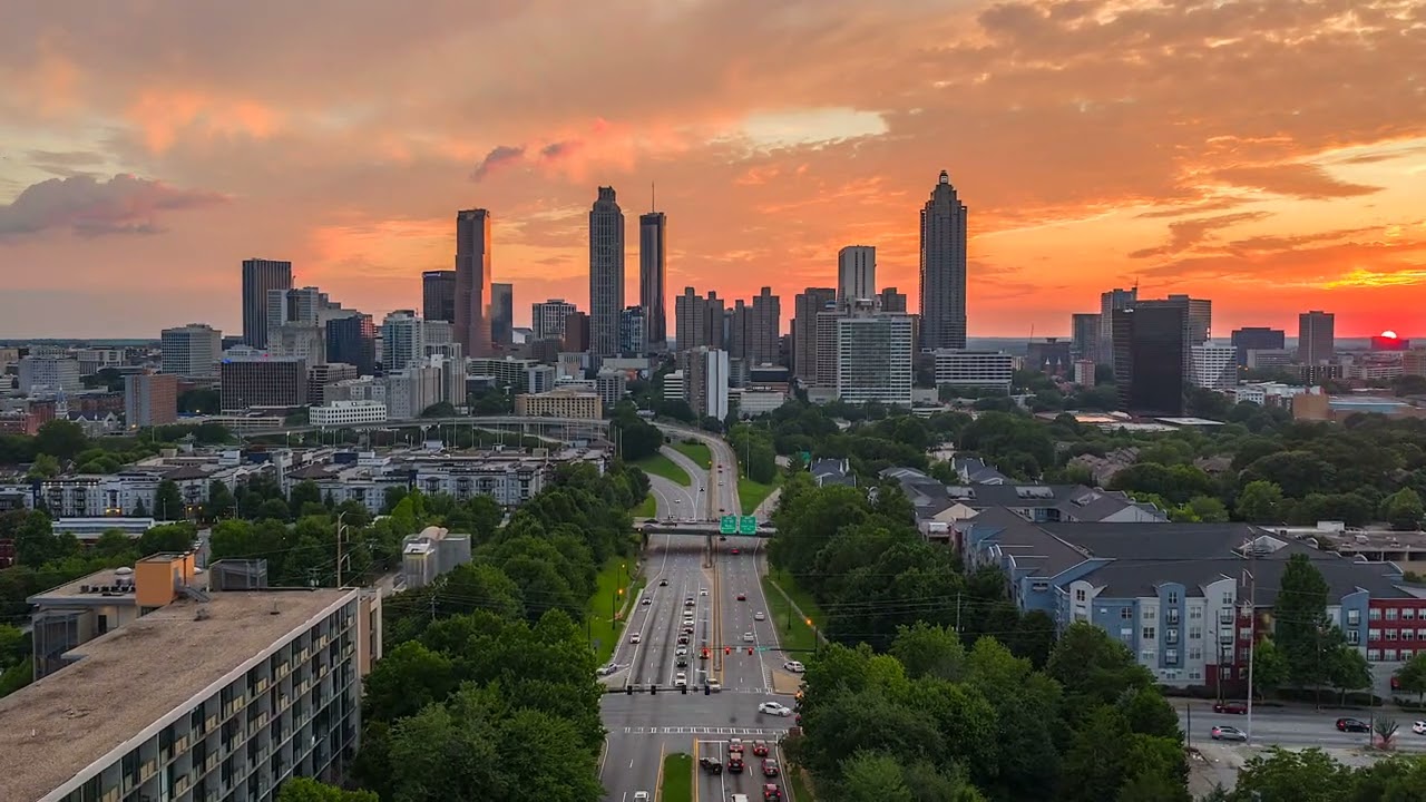
The attention surrounding Atlanta’s latest canopy assessment could easily be viewed as a story about a report becoming public.
It is also a story about what public research institutions do before the headlines arrive.
Georgia Tech collected the imagery. Researchers classified the land. They built the maps and dashboards, visited sites, compared decades of changes and created tools city leaders could use. The work was underway long before it became part of a City Council meeting or television segment.
Once the data entered the public sphere, the conversation changed.
Instead of debating whether Atlanta’s canopy was changing, policymakers, advocates, developers and residents could debate what the measured changes mean and what, if anything, should happen next.
WABE’s coverage captured the complexity. Giarrusso resisted treating Atlanta as a single canopy percentage and instead pointed to the city’s geographic extremes. He described progress in practical terms: helping neighborhoods with below-average canopy begin moving upward.
Atlanta’s next choices belong to Atlanta.
Georgia Tech’s role is different. It is to help ensure those choices can be informed by evidence, examined at the neighborhood level and understood in the context of decades of change.
Sometimes the power of research is a discovery.
Sometimes it is a new technology.
And sometimes it is giving a city the information it needs to have a much harder—and much better—conversation about its future.